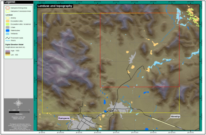
Fieldwork map for prospecting license
in the DRC: topography and landuse/landcover is shown to assist the principal
geologist’s exploration efforts. Excavation sites were of special
interest in this exercise and the DEM provided information on the accessibility
of sites from a pure logistical viewpoint.