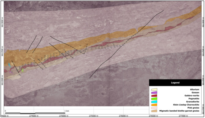
Detailed geological mapping done by Creo
Design have been plotted on top of an Ikonos satellite image, from where
drill positions were laid out. The high-resolution Ikonos image assisted
with some structural mapping, and was used as basemap to orientate map
users.