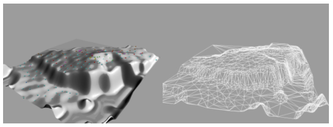
DEM constructed from GPS fieldwork (left)
and accompanying Triangular Irregular Network (TIN, right). The GPS-coordinates
have been captured in such a fashion that it could be post-processed and
increase the readings to sub-meter accuracy. This model was imported into
a dedicated 3D Mineral Exploration program, Surpac. Together with borehole
data, this was used to construct a 3D block model of the underlying geology
and mineral of interest.