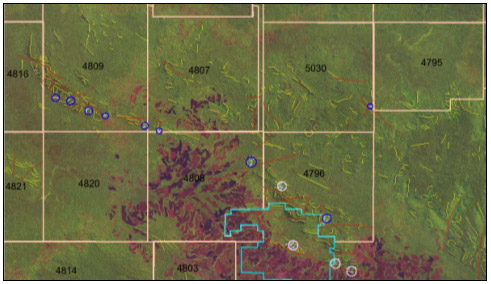
LandSat image used for structural geological
mapping: the band combination 4/5/3 was chosen on the basis that it provided
the geologist with a good visual product to do the mapping on. Targets
marked out on this image were followed up with fieldwork.